The Peaks of the Balkans Trail season of 2026 has surprised us with an unusually large amount of snow across the mountains. The main reasons are the heavy snowfall during winter and the unusually cold temperatures throughout spring, which significantly slowed down the melting process at higher elevations.
Below is the latest trail condition update based on information gathered from our guides and groups currently on the trail.
Last update: 27 May 2026.
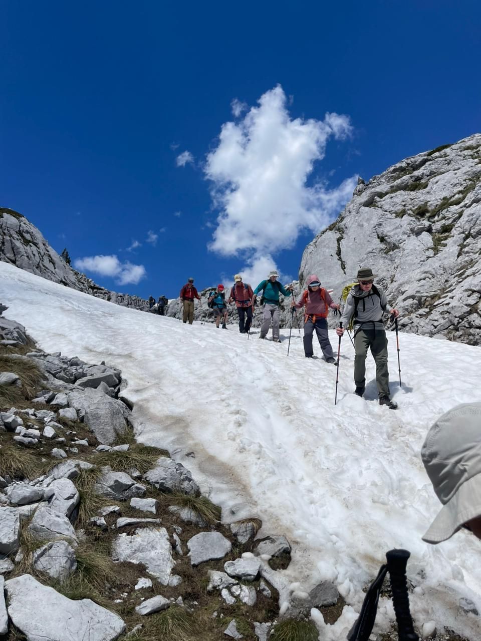
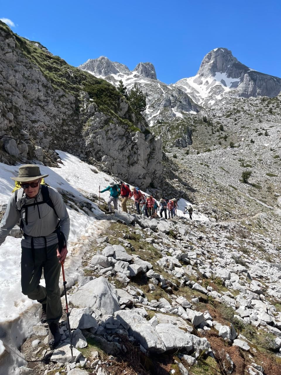
This remains the most problematic section of the trail. The classic summer trail is still closed and considered dangerous due to the large amount of snow present on the pass. At the moment, the winter trail remains the only safe and recommended option for crossing between Theth and Valbona.
Last update: 27 May 2026
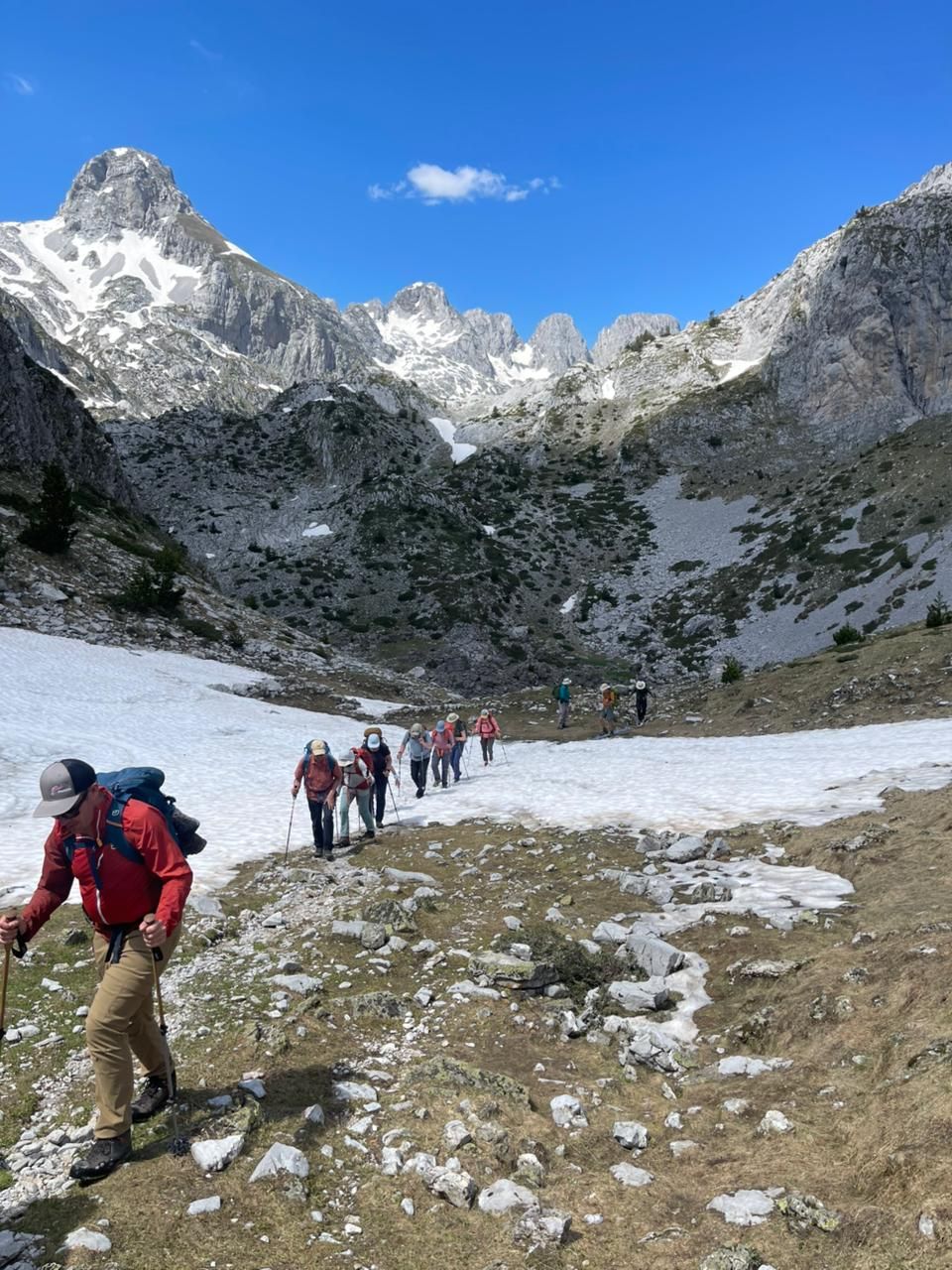
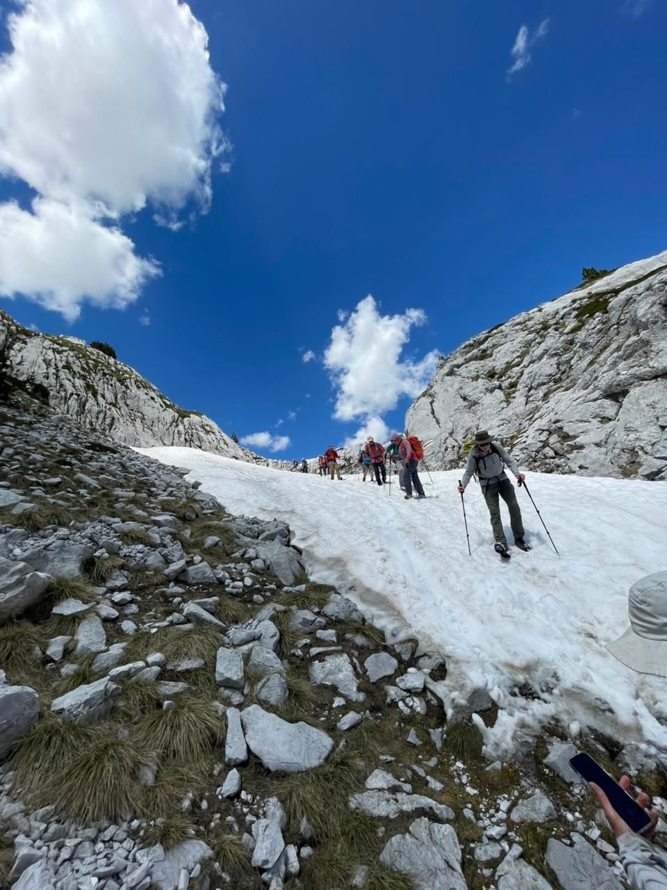
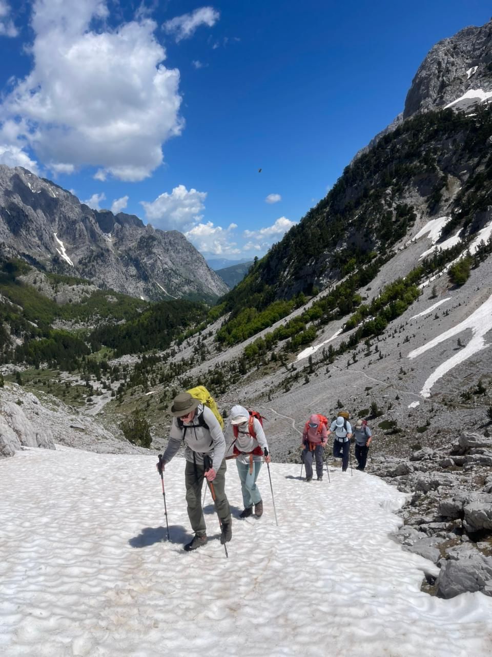
Groups have started crossing this section successfully, and the trail is currently passable. However, there is still considerable snow on the pass, and hikers should be extremely careful due to hidden holes in the snow and open crevasses formed during the melting process. This section requires caution, proper footwear, and preferably local guidance.
Last update: 27 May 2026
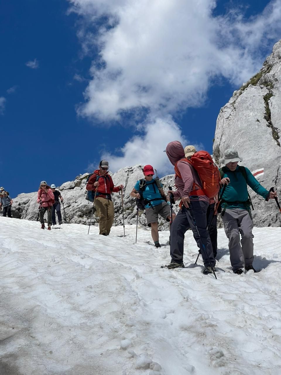
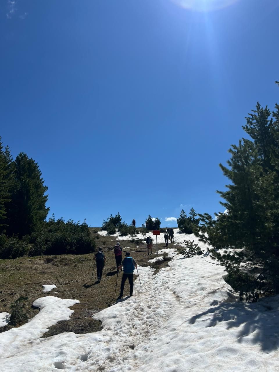
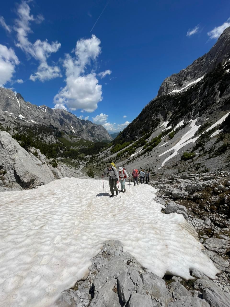
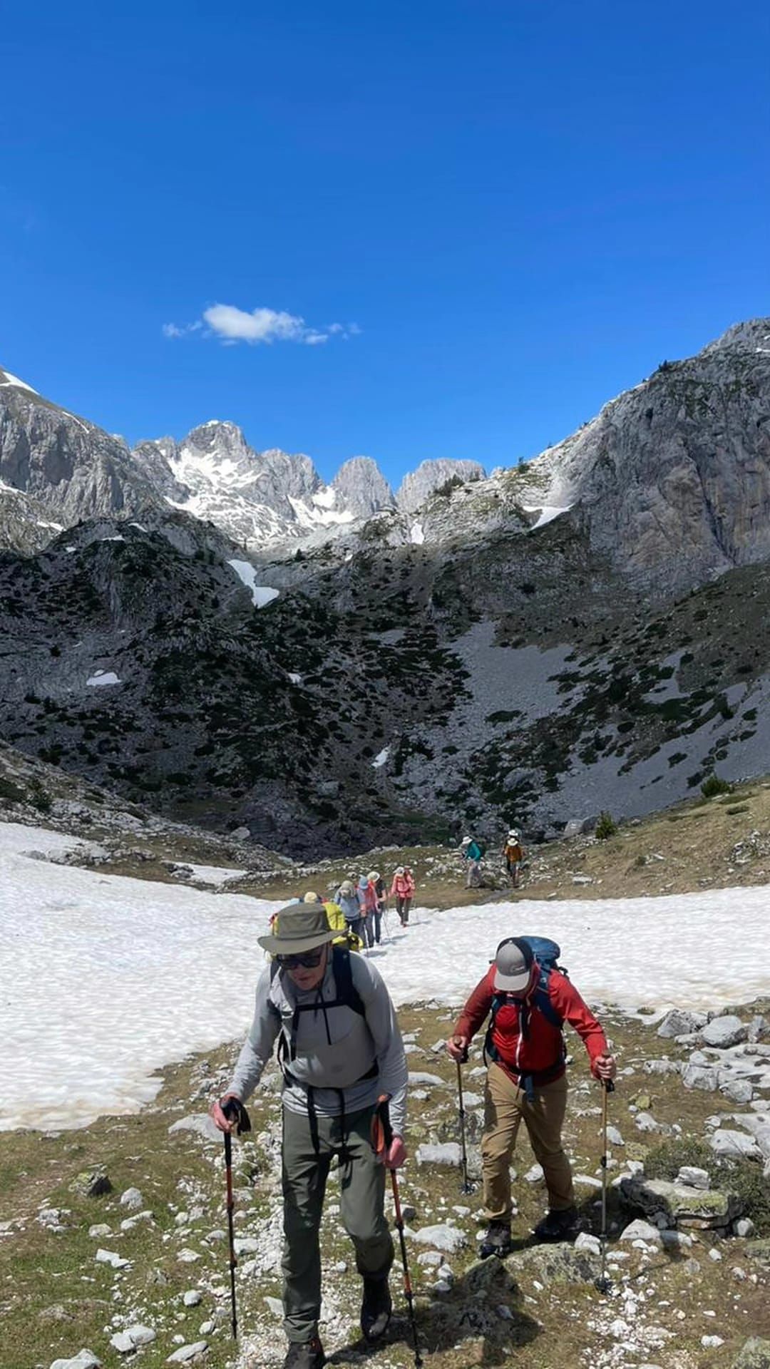
This section is passable, although several parts of the trail are still covered with snow. The snow makes the hike physically more demanding and slower, especially when approaching Dobërdol. Despite this, the terrain here is softer and safer, and there are currently no major technical dangers reported.
Last update: 27 May 2026
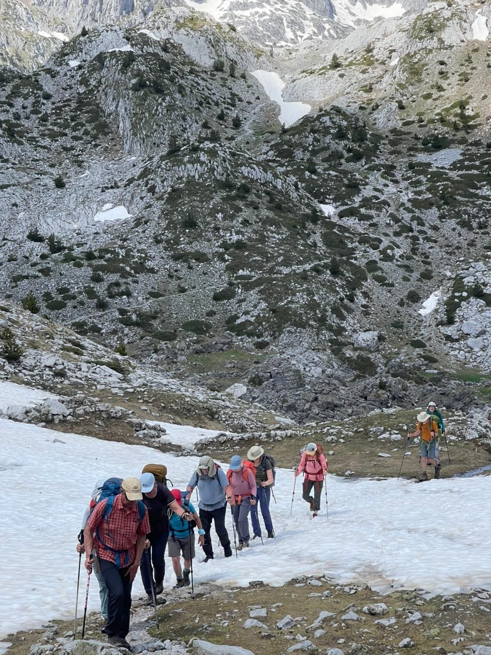
The most problematic part of this section is on the Kosovo side, especially near the area known as “Shkalla e Hajnavë”. Large amounts of snow are still present there, making the crossing difficult and requiring extra attention. After descending toward Milishevc, snow conditions improve significantly and the trail no longer presents major difficulties.
Last update: 27 May 2026
There is still snow on the Kosovo side of the trail. However, from the Zavoj area toward Ravno Selo, the trail becomes snow-free and fully passable.
Last update: 27 May 2026
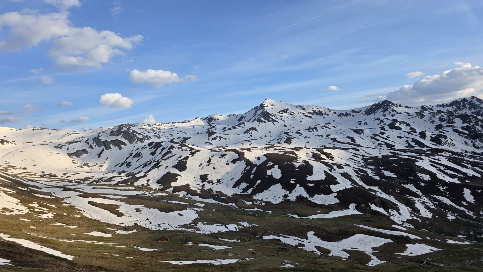
Most of this section is already clear of snow. The only exception is around Hrid Lake, where snow is still present in some areas. From there onward toward Plav, the trail is snow-free.
Last update: 27 May 2026
This section is open and passable. Snow is present only around Qafa e Borit, while the rest of the trail is mostly clear.
Last update: 27 May 2026
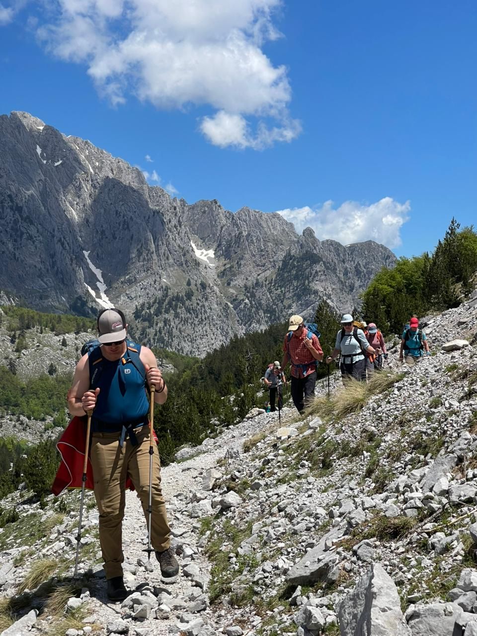
There is still snow in some places along the trail; however, it does not currently present significant danger. Groups are circulating freely and completing this section without major issues.
Last update: 27 May 2026
This section is open. Snow remains only in some areas near Qafa e Pejës. From there toward Theth, the trail is mostly snow-free.
Last update: 27 May 2026
Conditions in the mountains can change quickly depending on temperatures and weather. We strongly recommend:
The good news is that during the last five days, temperatures have increased significantly, causing the snow to melt very quickly across the mountains.
Based on the current conditions and weather forecasts, we believe that within the next 5 days, most sections of the Peaks of the Balkans Trail will likely become mostly clear of snow. The main exception will remain the Theth – Valbona section, where snow conditions are expected to persist longer due to the altitude and terrain exposure.
Last update: 27 May 2026.


Balkan Natural Aventure is leading tour oprator in the region. We were featured to major newspapers and hold a partner status with travelife certifier.
Links
Destinations
Locations
Balkan Natural Adventure Sh.P.K
Edit Durham, nr 7
30000 Peje, Republic of Kosovo
Balkan Natural Adventure Albania
Rr. Milto Tutulani nr 26/8
1010 Tirana, Albania